The Ley - As it Was !
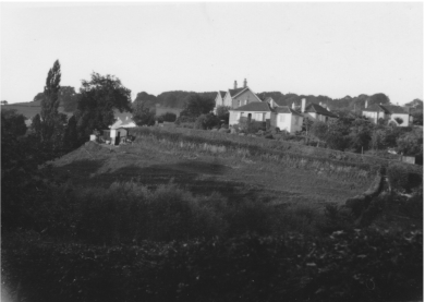
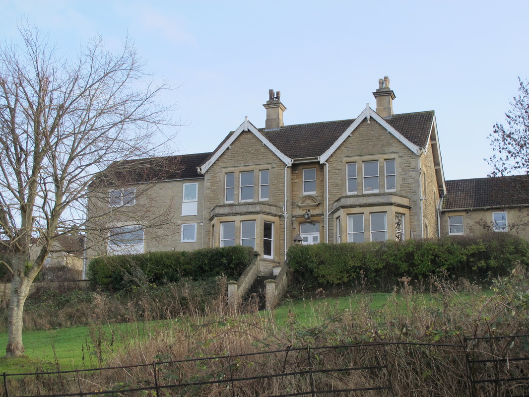
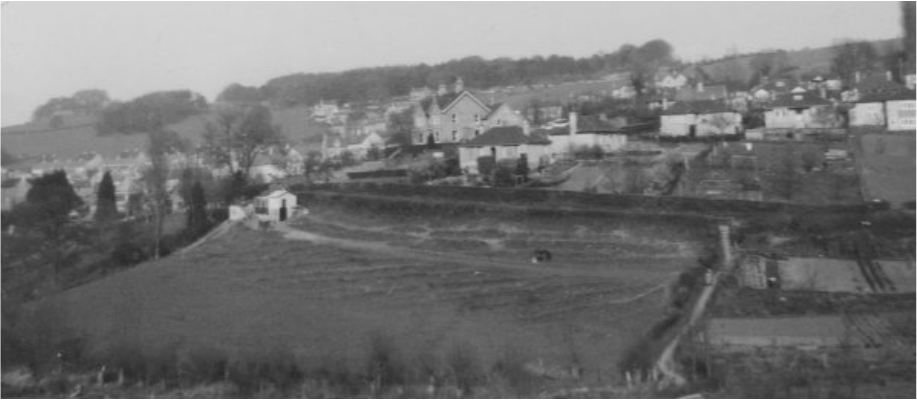
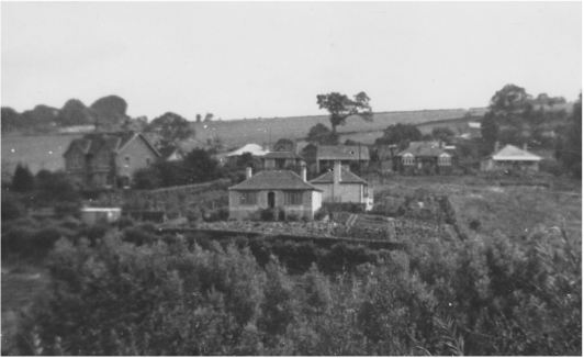 Westdene from the Devizes Road, August 1935 (courtesy Anna Grayson)
Anna Grayson
February 2015
In the years after the First World War, The Ley was scarcely developed. When Cecil Lambert built Westdene on a meadow bought from Merretts, the building firm, in 1933, it was one of the very few properties in the road.
This is the story of how the area developed after that time.
All pictures CMP, unless stated.
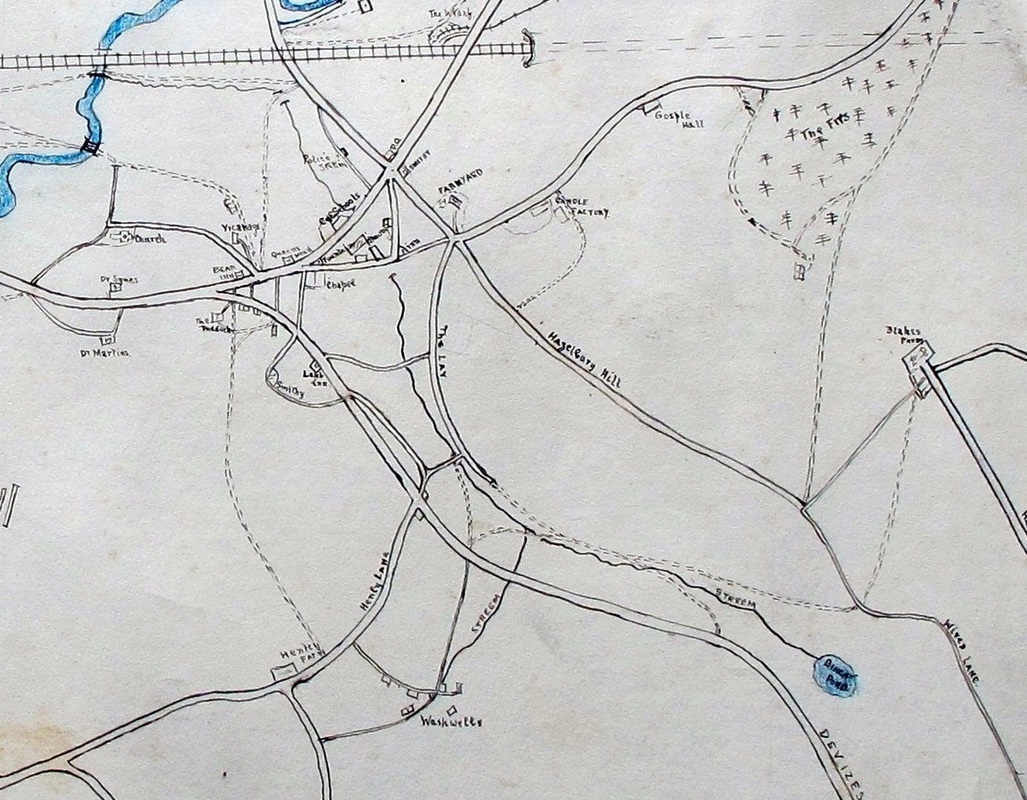
Extract of hand-drawn map of Box believed to be by Cecil Lambert, probably dating from when he was a child pre World War One (courtesy Anna Grayson).
|
I
always understood from my uncle, Cecil Lambert, that The Ley was an ancient
road, predating the Devizes Road,
and at one time connected with Henley
Lane. It may also have had a connection to the byway which goes up to Pye Corner, behind what used to be the
Lamb Inn (opposite Chapel Lane)
and comes down close to the Tollhouse.
We know that it goes back centuries because Leyes is marked on Francis Allen's map of 1630 as a field, an area of common pasture where animals could graze freely and securely close to the centre of the village. The Ley road is still the border of a low-lying, secure area, just to the south of the Manor House and within its overview. The complexity of grazing arrangements on common pasture needed close control, sometimes administered by the village collective or by the court of the lord of the manor. |
Ley (or lea) is an Old English word meaning land sometimes let out to grass for grazing and sometimes left fallow.[1] It is interesting to note that it falls within a typical Saxon farming structure of land radiating from the centre comprising: central housing; gardens and paddocks (for vegetables and animal over-wintering); then communal arable and pasture.
In 1947, when I arrived in Box, this is how The Ley was. Entering from the village end off the Devizes Road, I am going to deal with the left hand side all the way along it.
In 1947, when I arrived in Box, this is how The Ley was. Entering from the village end off the Devizes Road, I am going to deal with the left hand side all the way along it.
Left Hand Side
The first house on the left, Charnwood (Picture 1), did not exist. Previously this space was the gardens to older cottages, Mead House and Strauchen Mead Cottage (Pictures 2 & 3).[2] Another property is also there now, Melrose (Picture 4).
The first house on the left, Charnwood (Picture 1), did not exist. Previously this space was the gardens to older cottages, Mead House and Strauchen Mead Cottage (Pictures 2 & 3).[2] Another property is also there now, Melrose (Picture 4).
1 Charnwood
|
2 Mead House (Woodstock)
|
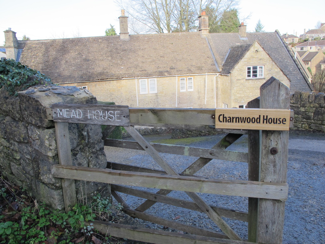
3 Mead House and Charnwood House
|
4 Melrose
|
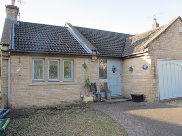
The council houses, numbered 1 to 10 The Ley (Picture 5), were there in 1947 and date back to at least 1939, as was the bungalow now named Alyssum (Picture 6).
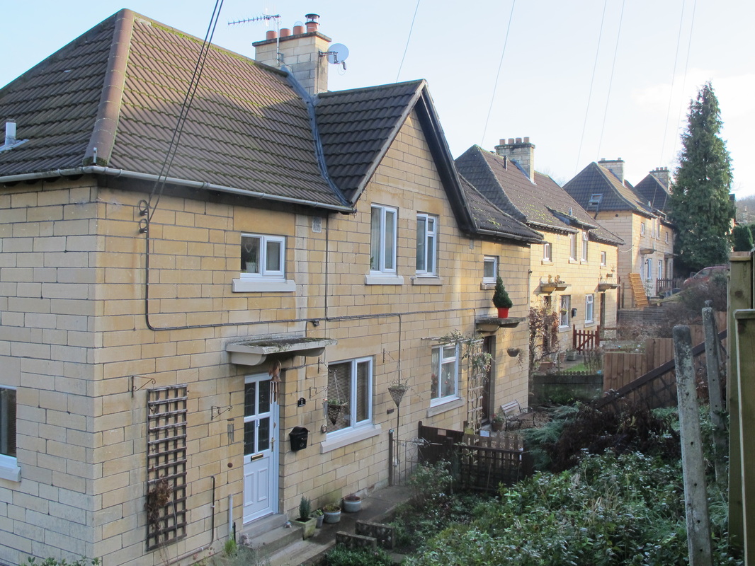
5 Houses 1 to 10 The Ley
|
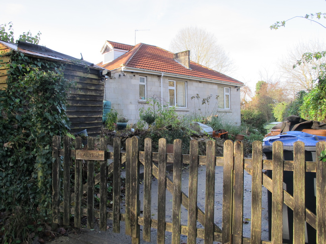
6 Alyssum
|
Ley Industrial Park
The land where The Ley Industrial Park (Picture 7) now stands was a paddock with a shed. Pat Brickell's pony was kept there and later Bull & Brickell built an ice cream factory and later sold frozen peas.[3] In 1947 The Ley was two-way. Probably when Bull and Brickell built their ice-cream factory on the paddock on the bend it became one-way.
The land where The Ley Industrial Park (Picture 7) now stands was a paddock with a shed. Pat Brickell's pony was kept there and later Bull & Brickell built an ice cream factory and later sold frozen peas.[3] In 1947 The Ley was two-way. Probably when Bull and Brickell built their ice-cream factory on the paddock on the bend it became one-way.
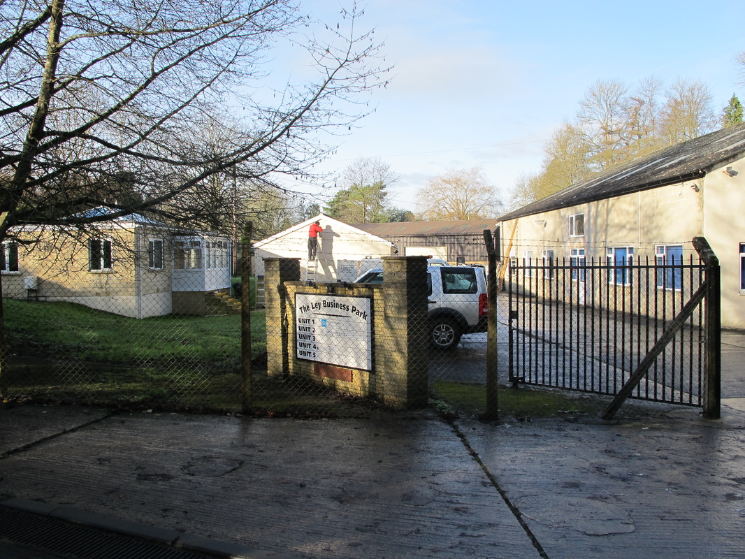
7 Ley Industrial Park
|
There were two bungalows between the end of the paddock and The Lagger footpath. The long-serving Box school master, Bert Swan, lived there but his house has been totally altered. The first one, Forest-side, is still there.(8)
But the second one has been much changed and several properties have been built in the garden and orchard of the second property. These are: Hazelbrook (9), Willowbank (10), Bianca's House (11), Appletree (12) and Brookfield (13). |
8 Forest-side
|
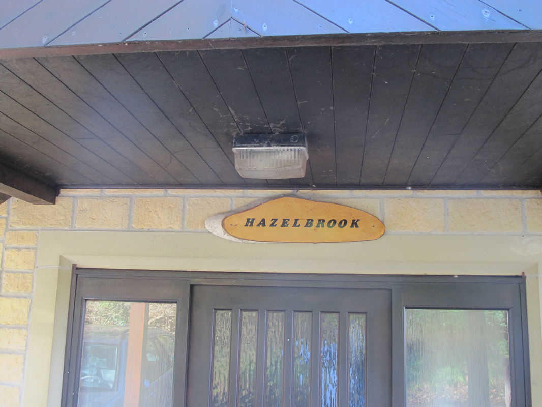
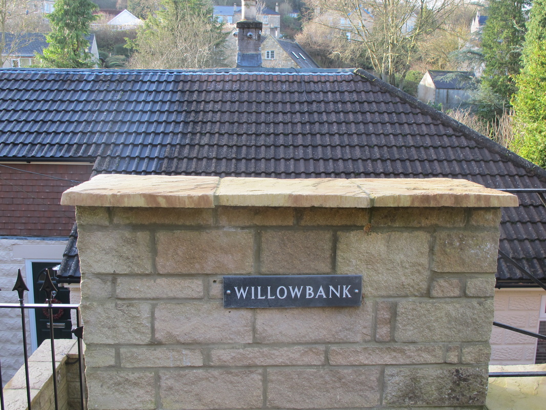
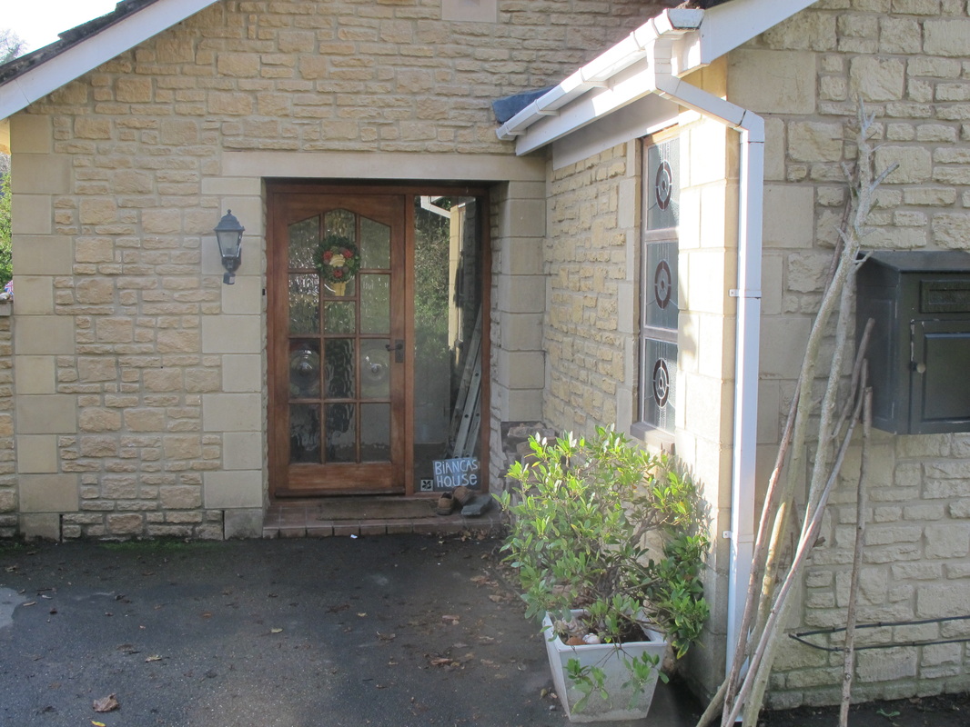
Above Left to Right: 9 Hazelbrook 10 Willowbank 11 Bianca's House
Below Left to Right: 12 Appletree 13 Brookfield
Below Left to Right: 12 Appletree 13 Brookfield
|
|
|
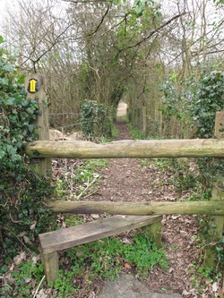
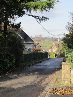
The Lagger Footpath
The Lagger (Picture 14) is believed to be very ancient; in modern times it was the shortcut to the bus stop. After the Lagger there was a large, very steep paddock with an upper narrow level, part of which led down to the field proper. On this there was a rough stable. Ben Drew, the baker from the Devizes Road, owned this field and kept his horse, Joey, there.[4] Joey was a chestnut cob with a white face and docked tail. He hauled the baker's cart for deliveries to the outlying hamlets.[5] When Benny Drew died he gifted the field and Joey to Ted Hulbert and Joey continued to live there for the rest of his life. We used to talk to Joey at the gate and stroke his head. (This issue also publishes Ted Hulbert's story.) Where the telegraph pole now stands there was a huge ash tree. When Ted Hulbert died the field was split into two separate plots for development. |
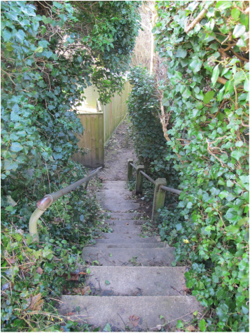
14 The Lagger Footpath
|
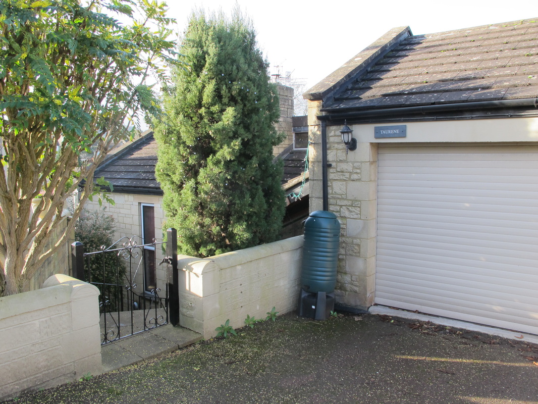
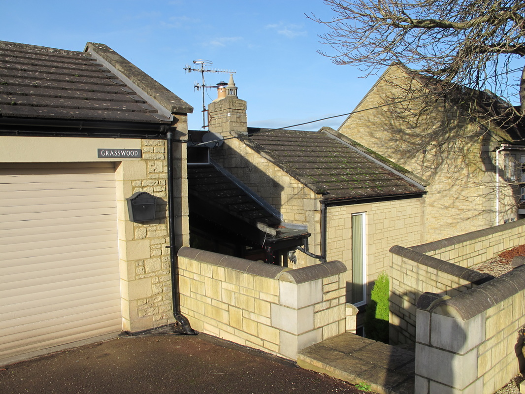
After The Lagger a little rank of houses was built: Cambria (15), Thorn Wood (16), Contours (17), Taurene (18), Grasswood (19) and The Chestnuts (20).
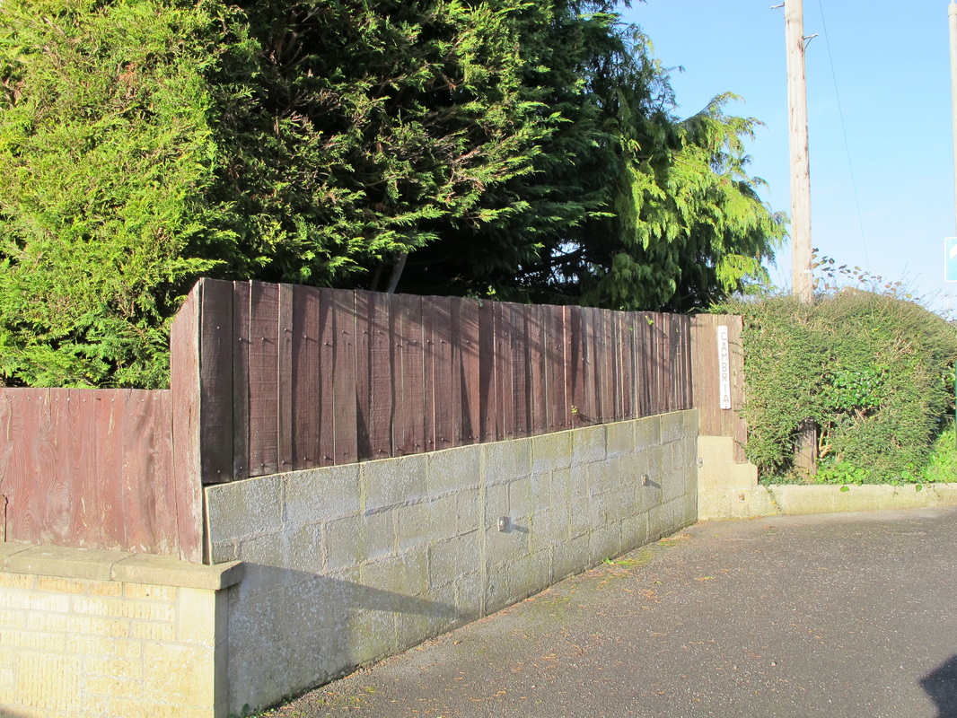
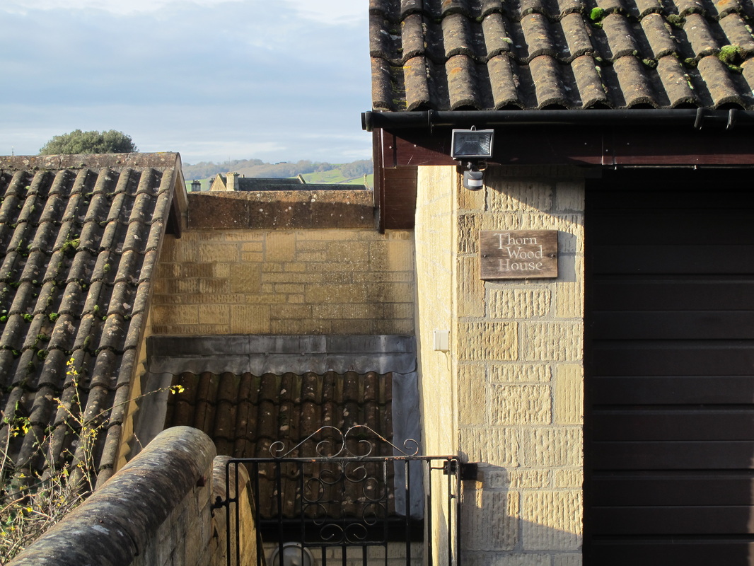
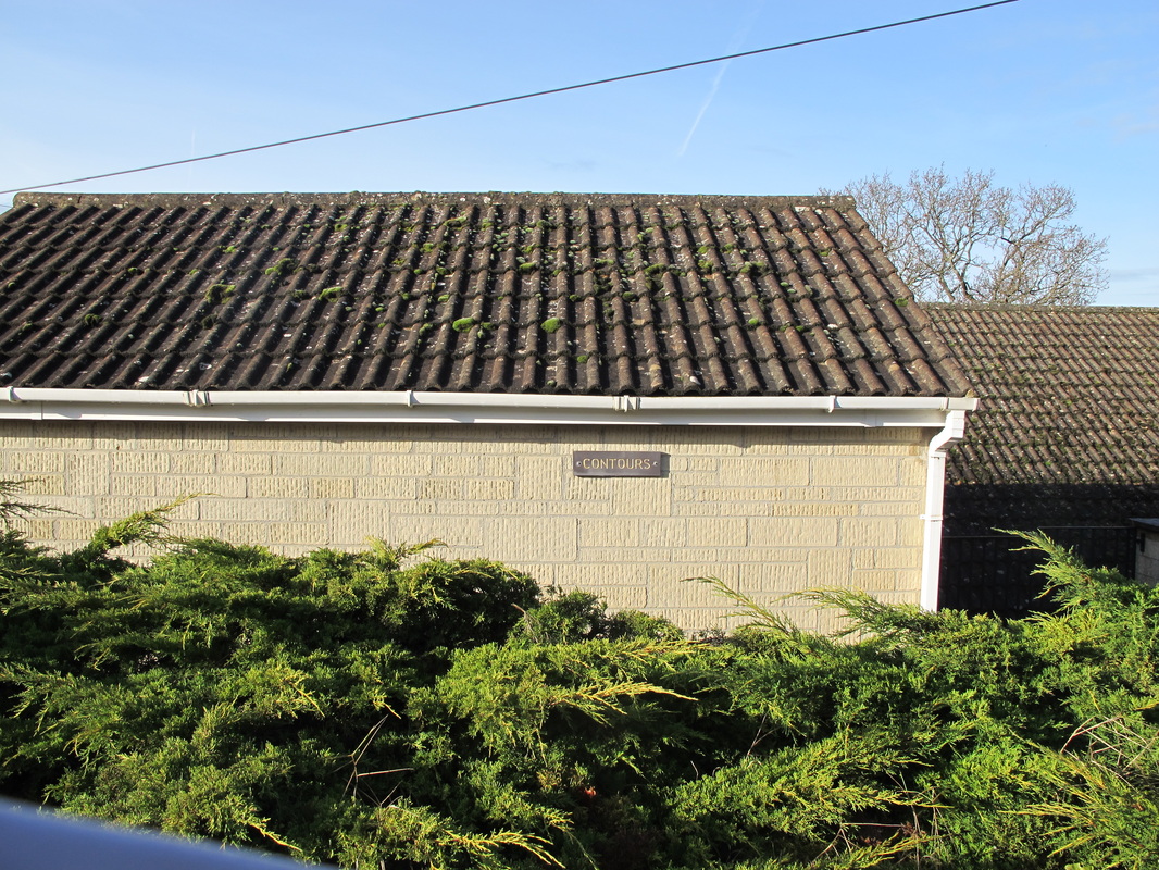
Above Left to Right: 15 Cambria 16 Thorn Wood 17 Contours
Below: 18 Taurene 19 Grasswood 20 The Chestnuts
Below: 18 Taurene 19 Grasswood 20 The Chestnuts
Ley Cottage
The next piece of land in 1947 was the orchard to Ley Cottage (21). The cottage was lived in by the Miss Higgens, Clare and Barbara, who wrote An Intimate History of Box and Footpath Walks. I believe they lived there with their father at first.
Prior to the Misses Higgens, the cottage was owned by Lieut-Col AWB Wallace, whose daughter Daphne, married a naval officer from HMS Royal Arthur, Corsham, in 1947. At one point the Selby family lived at the cottage.
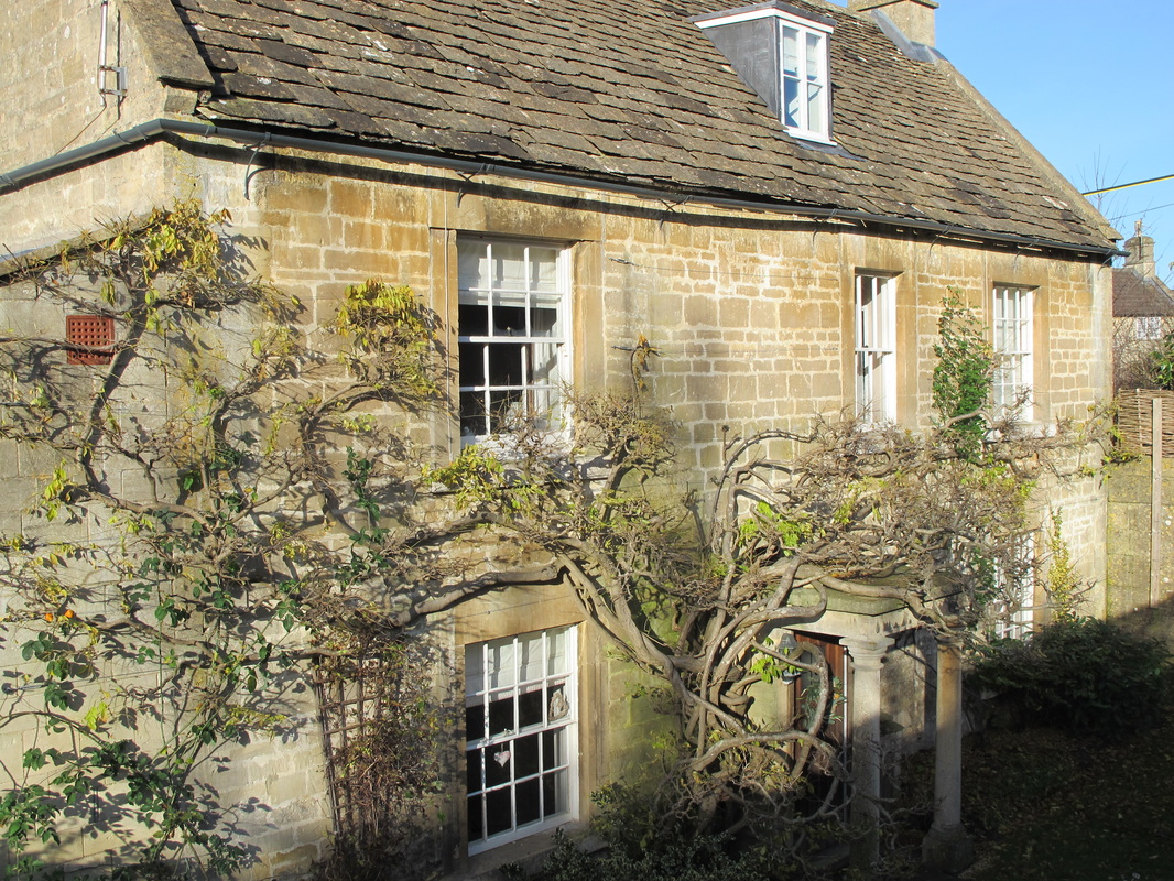
21 Ley Cottage
Townsend
Townsend then was largely as it is now. The first cottage (22), was a tiny premises lived in by Jack and Mill Norkett. Jack worked for the railway and Mill was related to the Lamberts. There was a door to The Ley, where the canopy is now blocked up. Inside you stepped down to the floor level. There was no electricity or gas or running water. Water was fetched from a tap on the corner of Hazelbury Hill and there was an outside toilet in the garden.
Townsend then was largely as it is now. The first cottage (22), was a tiny premises lived in by Jack and Mill Norkett. Jack worked for the railway and Mill was related to the Lamberts. There was a door to The Ley, where the canopy is now blocked up. Inside you stepped down to the floor level. There was no electricity or gas or running water. Water was fetched from a tap on the corner of Hazelbury Hill and there was an outside toilet in the garden.
22 The Norkett's Cottage at Townsend with blocked doorway
|
There were two rooms
downstairs: a living room with kitchen
range, and a sitting room. Steps led down to a substantial cellar (almost like a
crypt) with a vaulted ceiling, stone shelf and a doorway through to a second
cellar (we were not allowed to go into there).
It was alleged that a passageway from this cellar led under the road but I can't confirm that. Outside, at the back, was a washhouse with a boiler. The garden was well-kept. Upstairs were two bedrooms. Adjoining this (now part of it) was a one-up, one-down cottage with a lean-to kitchen. A mother and a child with learning difficulties lived there. |
The third building, Townsend Cottage (23), which was attached to the other two, belonged to the Lamberts at one time and is externally unchanged. The end house, Townsend House (24), has changed little over the years.
23 Townsend Cottage
|
24 Townsend House
|
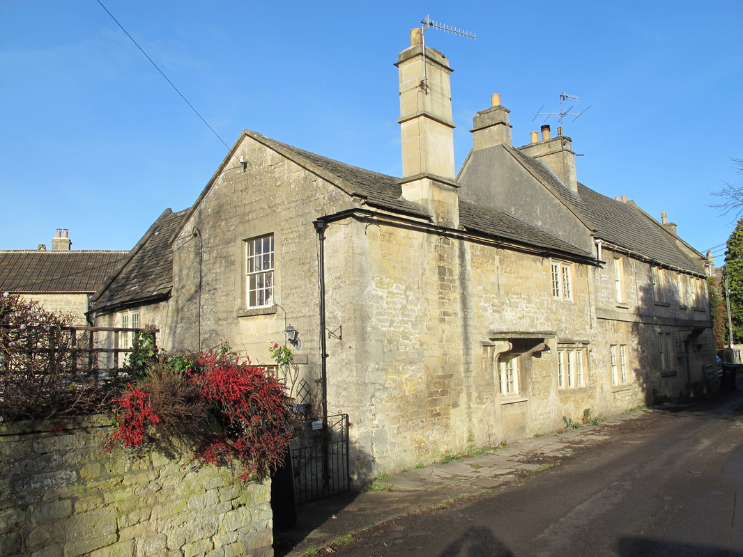
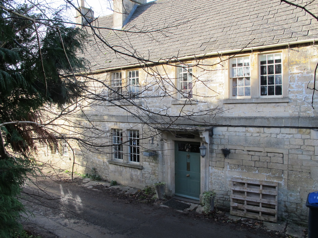
In one of the properties at Townsend (in the road called Hazelbury Hill) (25 & 26) lived Mrs Wainwright. She was a most distinctive person, very old, and she always wore black. She usually wore a black cloak, hat, boots and skirt and carried a black umbrella. It was all very strange in the 1940s.
25 Hazelbury Hill
|
26 The terrace is split into two parts
|
Right Hand Side
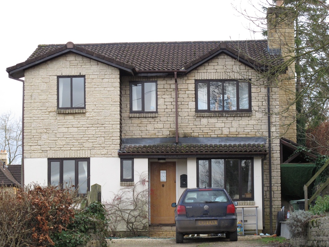
Starting from the Devizes Road, there was no building with an entrance to The Ley on this side. The site, where The Shambles (27) now stands, was entered from the Devizes Road and they owned all the land. Box Bottom House (28) stands in what used to be a substantial meadow owned by Mr and Mrs Ratcliffe who lived in Toll House (29). Mr Ratcliffe was a solicitor.
Starting from the Devizes Road, there was no building with an entrance to The Ley on this side. The site, where The Shambles (27) now stands, was entered from the Devizes Road and they owned all the land. Box Bottom House (28) stands in what used to be a substantial meadow owned by Mr and Mrs Ratcliffe who lived in Toll House (29). Mr Ratcliffe was a solicitor.
27 The Shambles
|
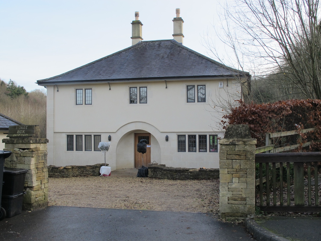
28 Box Bottom House
|
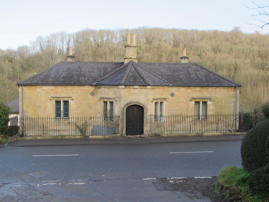
29 Toll House
|
On the bend, the rough track leading along Box Bottom leads from The Ley. The first part was Hazel Coppice (30). Then there was a gate and a very steep open meadow on both sides of the track. There were lots of molehills in the meadow and a narrow stream ran along the bottom of the valley.
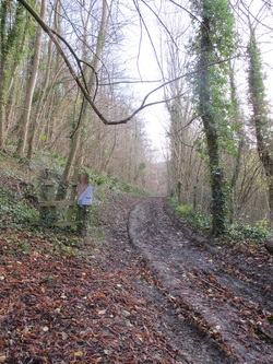
30 Hazel Coppice
|
31 Footpath
|
A second gate (31) led into a second field and copse. A concrete pumping station (out of use) was near the stream. The track led to the side of Pinch Pond where the lower end (outside a dam) had the remains of a sheep dipping pond with metal shepherds' boxes to enable the sheep to be pushed in and out with sloping ramps for access. The track then led across a steep field to join Wyres Lane (the top end of Hazelbury Hill), where it crossed over to Hazelbury House.
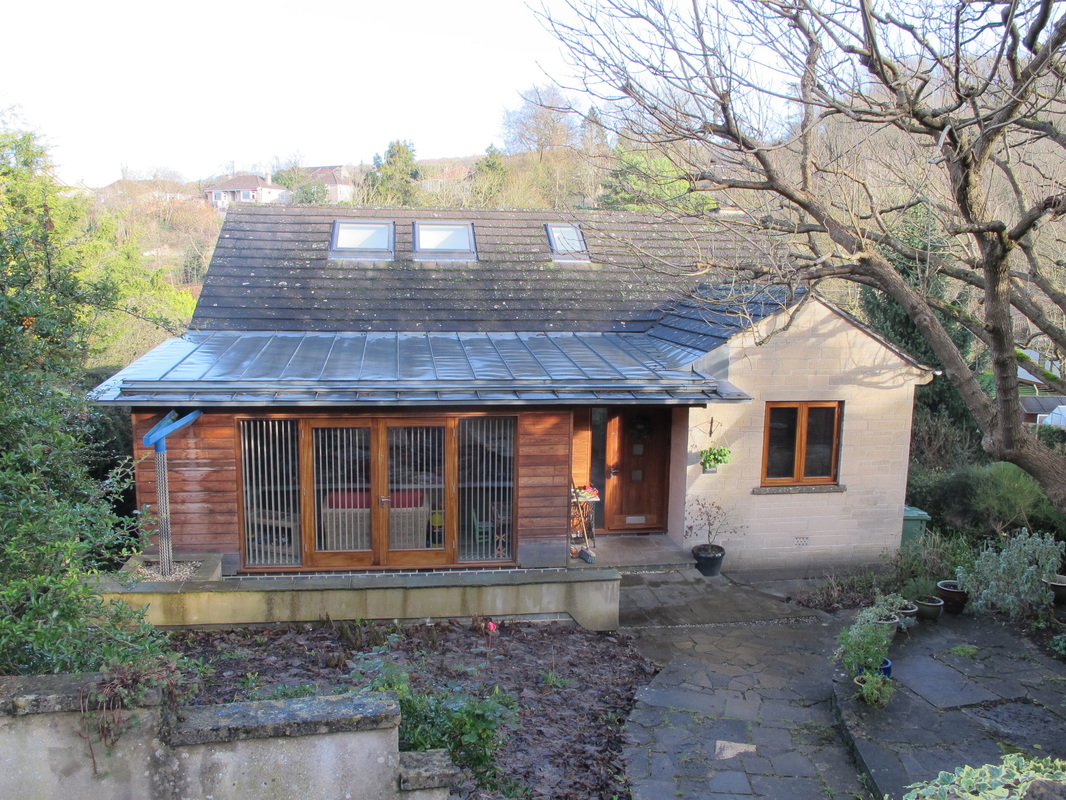
Back on the road, The Ley was wooded up to the entrance to Woodstream (32). There was no drive up into the woods or houses in the woods. Now Silkwood has been built here as well. Westwinds (33) stands in what was the orchard and garden of Westdene.
Back on the road, The Ley was wooded up to the entrance to Woodstream (32). There was no drive up into the woods or houses in the woods. Now Silkwood has been built here as well. Westwinds (33) stands in what was the orchard and garden of Westdene.
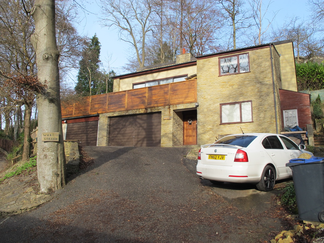
32 Woodstream
|
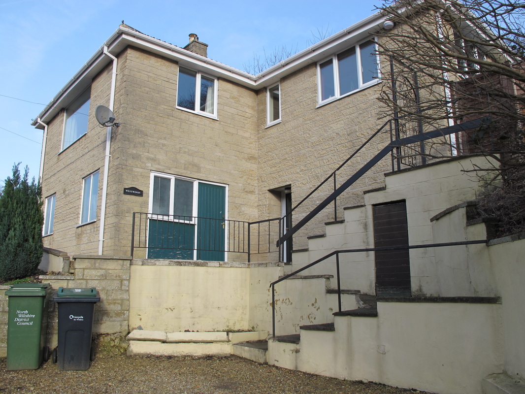
33 Westwinds
|
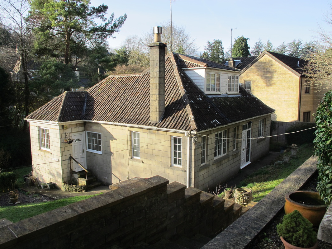
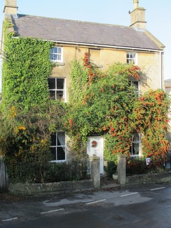
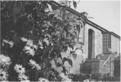
Westdene
Westdene (34-36) was built in 1933. Access to Westdene was by a stony, narrow footpath with a white railing beside it. For years after it was built, clay pipes were found in abundance when digging in the garden. Possibly it was an allotment or perhaps a haunt of workers relaxing after working on Box Tunnel.
Westdene (34-36) was built in 1933. Access to Westdene was by a stony, narrow footpath with a white railing beside it. For years after it was built, clay pipes were found in abundance when digging in the garden. Possibly it was an allotment or perhaps a haunt of workers relaxing after working on Box Tunnel.
34 Westdene above the Lagger footpath (photo courtesy Anna Grayson)
35 Westdene (courtesy Anna Grayson)
|
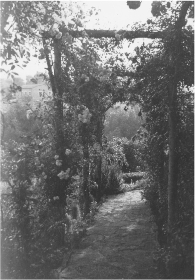
36 Westdene's Pergola, now demolished (courtesy Anna Grayson)
|
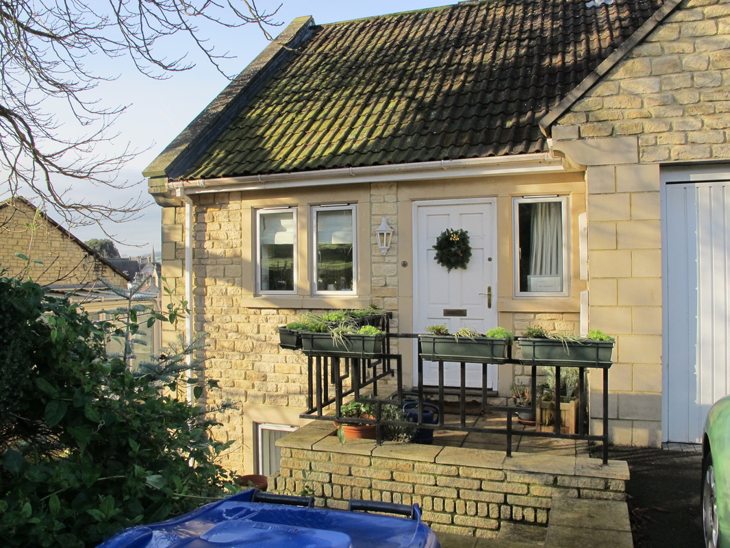
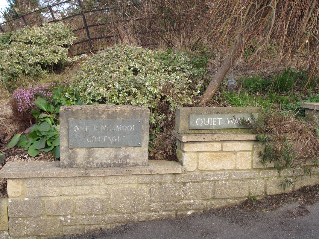
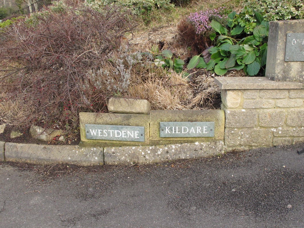
The rest of the older bungalows were built in succession: Box View, Quiet Ways (37) and Kildare (38).
|
|
37 Kingsmoor Cottages and Quiet Ways 38 Westdene and Kildare
Kingsmoor
There was no car park or Kingsmoor Cottages in 1947. Where they stand used to be the kitchen garden, later paddock, to Kingsmoor House (39).
There was no car park or Kingsmoor Cottages in 1947. Where they stand used to be the kitchen garden, later paddock, to Kingsmoor House (39).
39 Kingsmoor House
Kingsmoor House was probably built between 1900 and 1911.[6] It may have been built by the Pinchin family because in 1911 Edwin Skeate Pinchin, Brewer and Maltster, lived there in 9 rooms with his wife, one child and a domestic servant. At one stage, it was owned by the Skrine family.
The Skrines were before my time but my uncle talked about them. They were a reminder of pre-war society, led by the matriarchal Mrs Edith Sholto Skrine, daughter of the Hon Sholto Douglas Skrine, Procureur-General of Mauritius. Edith lived in Kingsmoor from at least 1923 until her death in 1931 when her surviving son, Walter, and his wife lived there until at least 1941. Their condition seems much diminished by then because, instead of advertising in the local paper for a good house parlour-maid (as they had done throughout the 1920s), by 1941 they needed a milking goat, good breed.
Probably in the latter stages of the war and after, the property was taken over for military use and in 1947 was referred to as the Naval Station, Kingsmoor.[7] Then later, it was a children's home run by Mr and Mrs Tull, a much loved couple, on behalf of the Wiltshire County Council. It has changed externally with various owners and two extensions have been added on either side, possibly built by the council.
The Cottages were sold off by Wiltshire County Council after the children's home was closed. The Richmond Fellowship, a charity helping young people, took over the main house in the 1990s until 2008-09 when it reverted to a private residence.
|
The Upper Ley
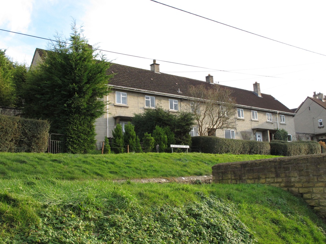
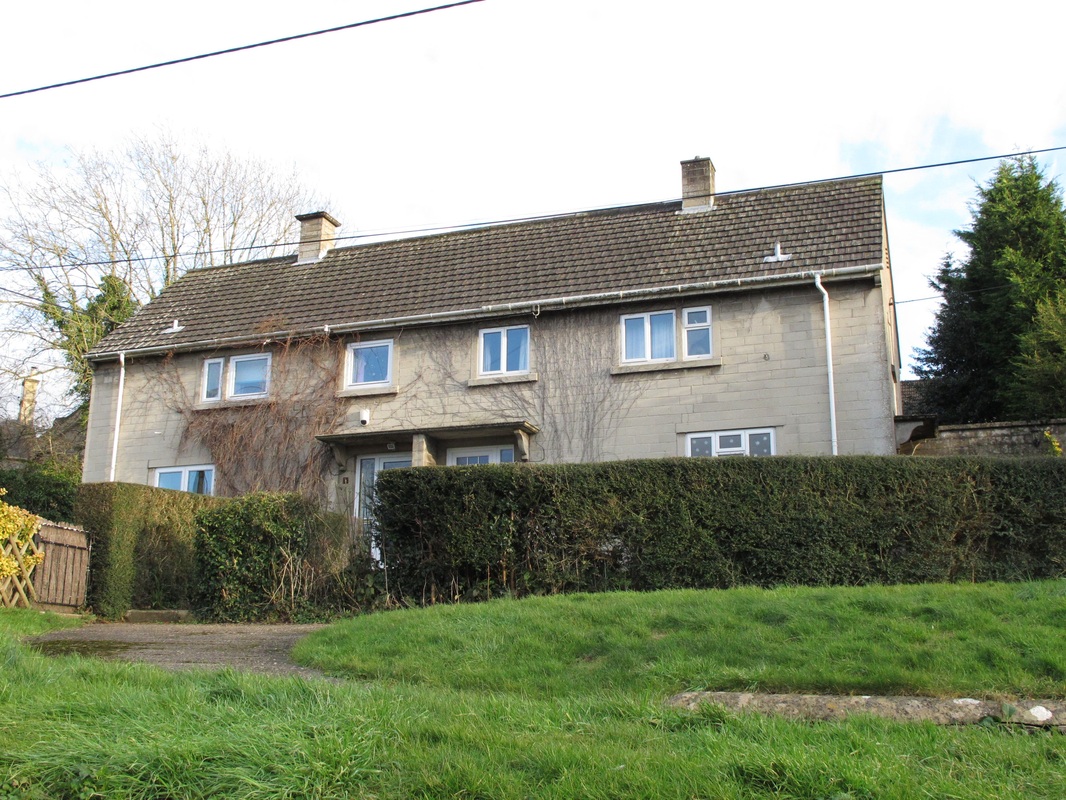
This road had some bungalows on both sides but these have been much changed or the land infilled with more properties. At the end was a house on the left and a house on the right. A narrow, private footpath comes up from Westdene, past all the properties, crosses the Upper Ley and then joins the top of Hazelbury Hill. It is shown on early deeds as a wide right-of-way but has never been this in my time. Past the Upper Ley, where the council houses called 1 - 8 Hazelbury Hill (40) now stand, was a very big meadow, steeply sloping, with a cluster of big trees in the centre. Cows were kept in the field and I once saw a calf being born there. The council houses in this field were built after 1947. Left: 40 The Upper Ley |
Because of the way that The Ley has been developed ad hoc after 1947, it is sometimes difficult to imagine how it once looked and the views that it previously afforded over the whole of Box village. The marvellous photos below demonstrate the landscape in the late 1930s and early 1940s. Below left (41) you can make out the old Pontings shop in Queen's Square (now demolished to form the car park). Below right (42) you can make out the line of Steam Mill Cottages. They are a reminder of the original rural purpose of the Ley fields.
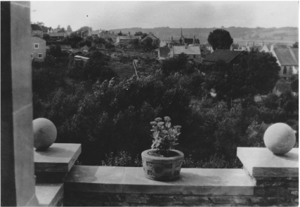
41 View towards Box Church (courtesy Anna Grayson)
|
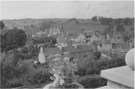
42 View towards Market Place (courtesy Anna Grayson)
|
These photos are a reminder of the original rural purpose of the Ley fields and the glorious views that its position allows overlooking the whole of Box village.(43)
43 Photo courtesy Chris Dancey
References
[1] Oxford Dictionary
[2] See Historic Houses
[3] Ken Oatley adds that Bull & Brickell had a parlour selling ice-cream next to Lloyds Bank in Corsham.
[4] There are some fabulous photos of Joey, the horse, and Ben Drew in the article in this issue about Ted Hulbert
[5] There are many affectionate stories about Ben Drew and Joey, although I cannot vouch for their authenticity. I like the one that a householder in Ditteridge bought all the loaves that Ben took in a basket to her front door. He went back to the cart for extra loaves and took them to the lady. Joey, thinking that his master was on board, set off for home without him.
[6] Details indebted to Sarah Street
[7] Bath Chronicle and Weekly Gazette, 13 December 1947