Tudor & Stuart Henley and Washwells Alan Payne March 2016
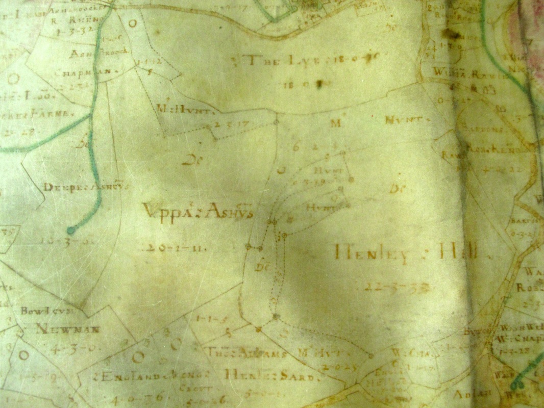
Both Henley Hill and Washwells are shown on Allen's 1626 map. Neither area is developed; probably because of their steep hillsides. The first documentary evidence of Washwells is dated 1655 when a Declaration of Trust by George Speke refers to his two holdings at Washwells called Chapmans Washwells and Butchers Washwells.
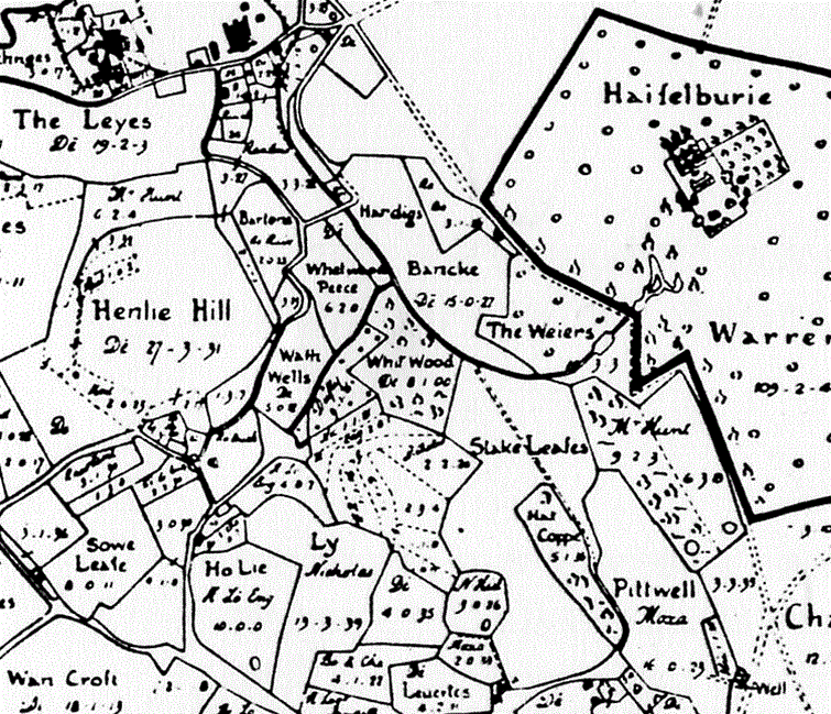
There was another reason why the are had not been developed other than its steepness; it was a prime woodland area. The areas were not continuous on Allen's map and each has a separate name: Whet Wood Peece , Whit Wood , Stake Leases , Hatt Coppe
Wood was a vital part of life needed to provide building material, fuel resources, and to repair farm implements.[1] Timber was intensively farmed on a commercial basis and carefully controlled by men such as Michael Woodward at Colerne who was a local warden from 1659 and 1675.[2] He personally supervised the coppicing of trees; he gave permission for the gathering of firewood (topp and lopp); marked trees for felling and sale; and allowed tenants to cut certain trees for house repairs and to construct barns, cart sheds and cowhouses.
Throughout the whole area are isolated field names reflecting timber crops, although not such a density as at Henley. Log Croft at Kingsdown refers to logs for building purposes as was Wood Croftes (land set aside for woodland as a crop) also at Kingsdown. Other woodland names include Groves (a copse or thicket), Charlewood (a wood kept for a ceorl or free peasant) to the east of Wormwood Farm and Coulde Harbor (an arbour) at Ditteridge.