Hatt, Old Jockey and Blue Vein in Tudor & Stuart Times Alan Payne March 2016
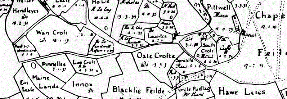
The road running east-west is the old medieval route from the Horse and Jockey (now called Box Fiveways) to the edge of Kingsdown as shown in the 1630 map. This was before the route had been turnpiked with Blue Vein tollhouse and before carriage passengers substantially increased its traffic. Old Jockey and Blue Vein Farm have not yet developed.
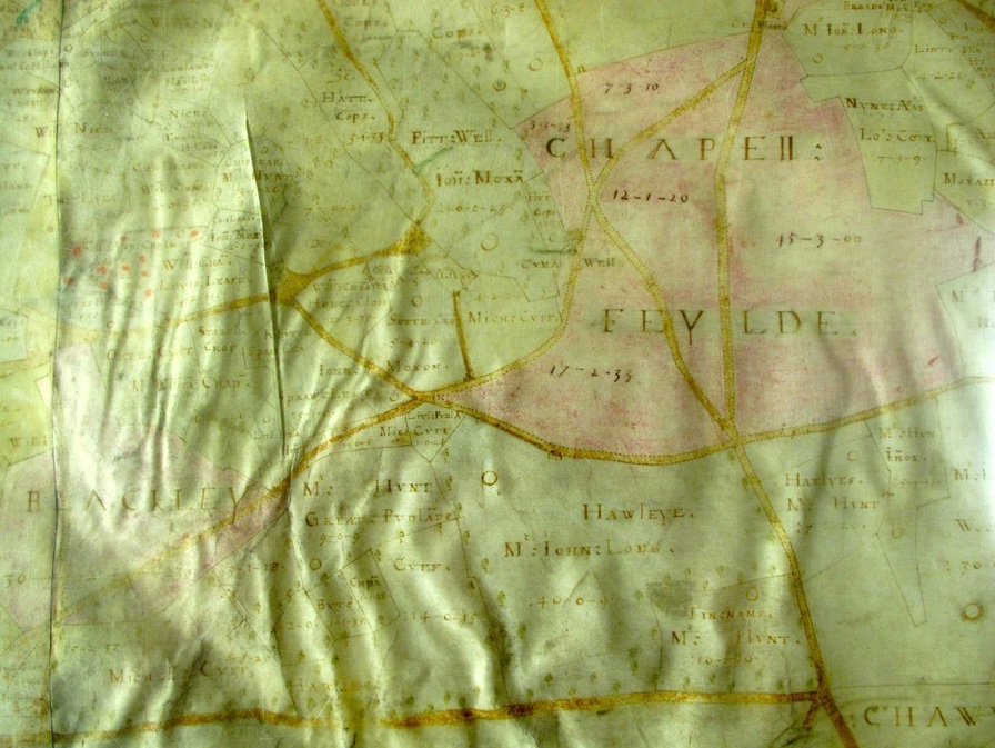
The 1626 map of the road is much more informative. It is not the bottom road, which is the Roman road, now the southern boundary of the parish, but the winding route to the north. It shows the corner at the present tollhouse as belonging to Micl Cuff and for a time this was called Cuffs Corner. It also appears to show the word IN at the site of the present Old Jockey, which was formerly a coaching stop for travellers going to Bath. The Drilley is also shown better running northwards to Hatt House.
These properties appear to be Hatt House and other residences lying to the north of the medieval road. It is said that a number of cottages existed down the Drilley (one still survives and has recently been restored). The entrance to Hatt House was originally off the Drilley, the track to which passes through the word South Croft. The properties to the west of Hatt House, around Home Close, have been lost now, although their remains might be part of the ruins noticed in an earlier investigation into Drilley Bottom.


